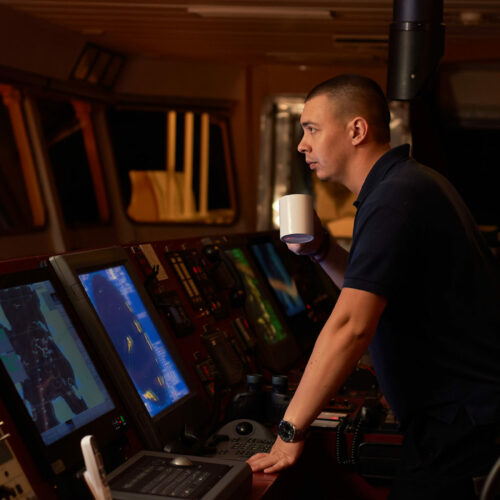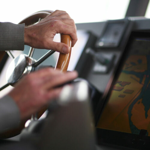
Once the GPS is connected to the computer, your vessel’s position will appear on a detailed chart. All the data required for navigation will be displayed (typical chart data such as VHF, radar information, reporting points, place names, kilometre markers, quay numbers, etc.). A separate window will constantly show additional data such as course, speed, VHF channels to be used, etc.

